

Stories
Sample projects told with satellite imagery and geospatial data: what we asked, what we built, what we found, and how far to trust it.
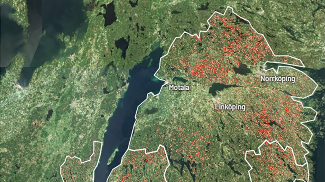
Forests
Bark beetle prediction
Ranking Swedish forest by how likely spruce bark beetles are to attack next season, with an interactive risk map.
Read the story
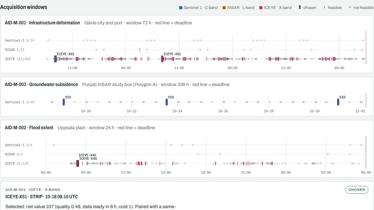
Satellite planning
From a question to a satellite plan
How a request like "warn me of landslides here within 48 hours" becomes a checked, explained observation plan.
Read the story
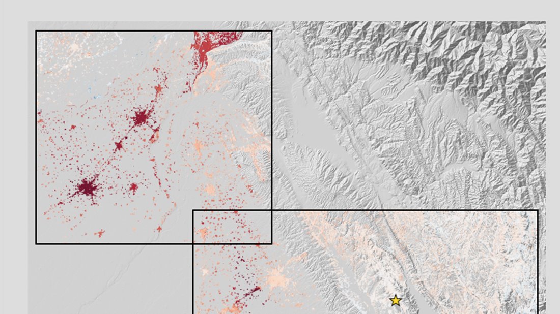
Ground motion and water
Punjab ground motion, 2016–2024
Eight years of radar measurements, and what they suggest about groundwater, in four interactive maps.
Explore the maps
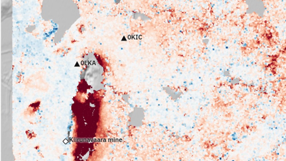
Early look
Ground motion around Kiruna
One summer of radar measurements shows fast-moving ground beside the Kiirunavaara mine.
See the first results
Foundation models
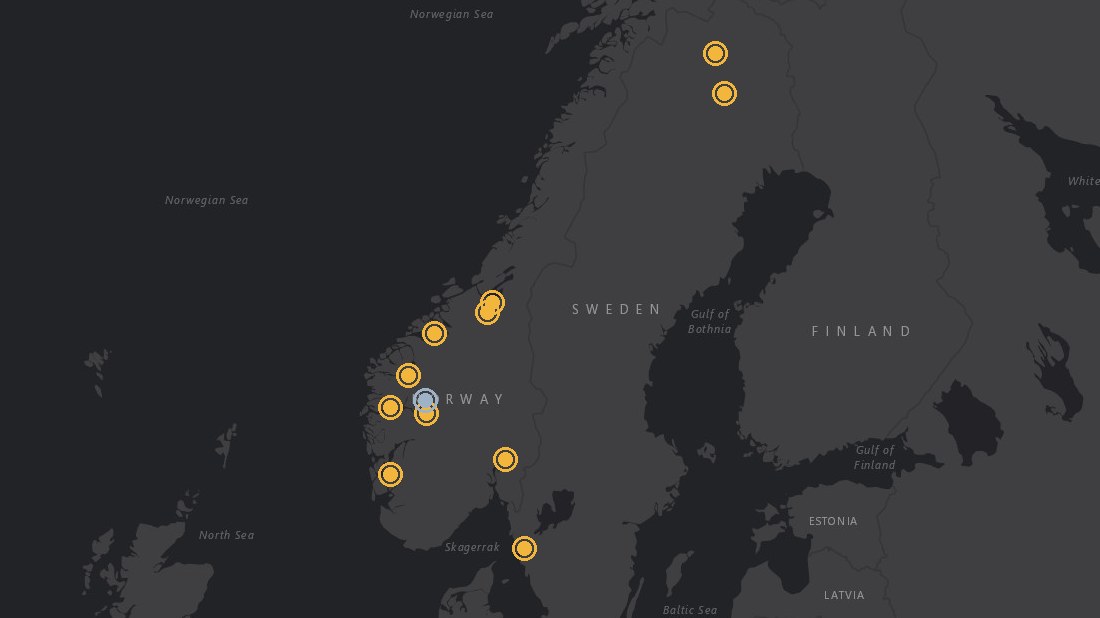
Forecasting landslides from ground motion
Testing whether a foundation model can forecast where and when landslides start, with twelve Scandinavian sites on one map.
Explore the map
Restricted
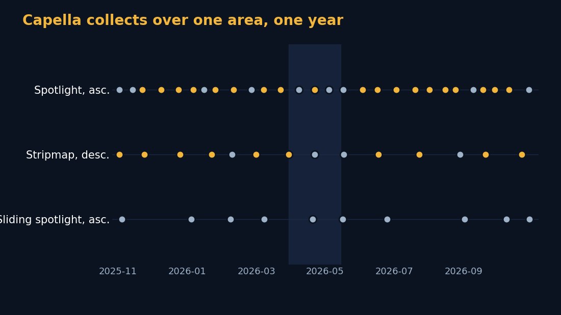
Capella SAR availability
What the Capella radar archive holds over an area, and whether it can support InSAR. Password required.
Open the project